


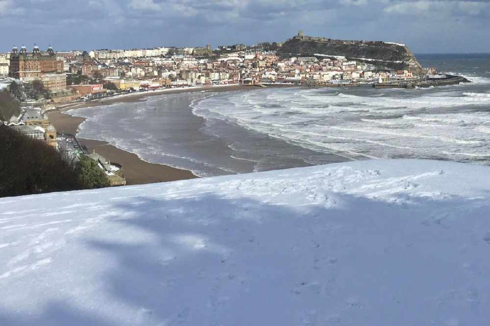
A Yellow Warning for snow is in force with frequent snow showers predicted to hit the Yorkshire Coast from Monday.
A Yellow Warning for snow is in force for the Whitby area for Monday and the whole of the Yorkshire Coast for Tuesday.
The Met Office have this warning for Monday:
A band of rain, sleet and snow is expected to move south during Monday followed by frequent snow and hail showers. Whilst the highest accumulations of 5-10 cm are most likely over northern Scotland, there is a small chance of more organised and persistent spells of snow developing elsewhere in this (warning) area, and could bring 2 to 5 cm even at lower levels. Into Monday night, showers are expected to continue, and ice is likely to form on untreated surfaces where snow has melted by day.
And this warning for Tuesday:
Cold, blustery northerly winds will continue to drive frequent showers of snow and hail into these areas on Tuesday. The highest accumulations are likely again over the high ground of northern Scotland, where another 5-10 cm are possible by the end of the day. Accumulations at lower levels are most likely overnight where 2-5 cm could accumulate locally. Icy stretches are also a likelihood, especially during hours of darkness.
This Is The Coast will have regular weather and travel reports, plus details of school closures. To report any problems, call 01723 336444.

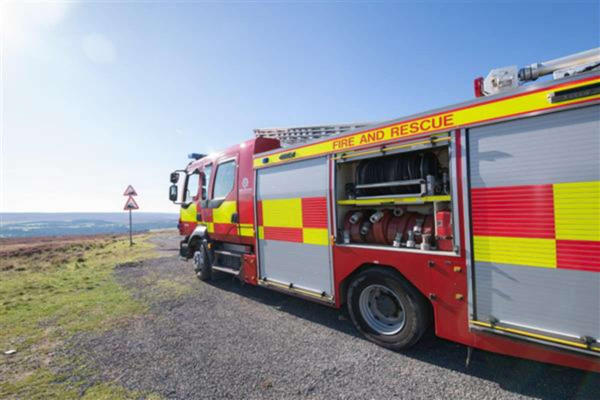 North Yorkshire Fire Chief: Alarms Not Being Turned Off
 Scarborough & Whitby MP On Smart Meter Success
 Scarborough Athletic Star Heading For League One
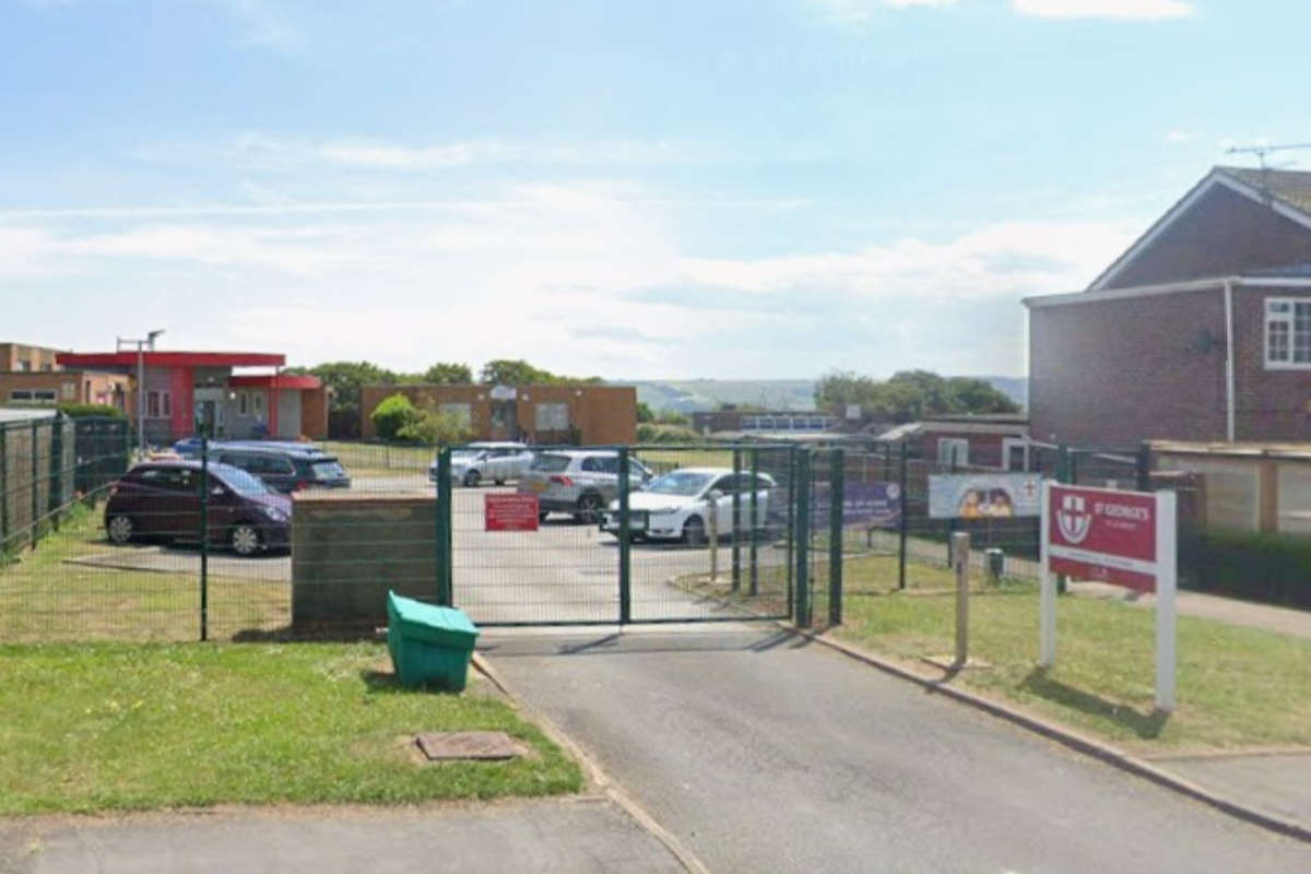 Multi-Game Sports Area Plan For Eastfield School
 Carnaby Holiday Park Deaths: Third Man Arrested As Enquiries Continue
 Carnaby Deaths: Families Pay Tribute To Tragic Teens
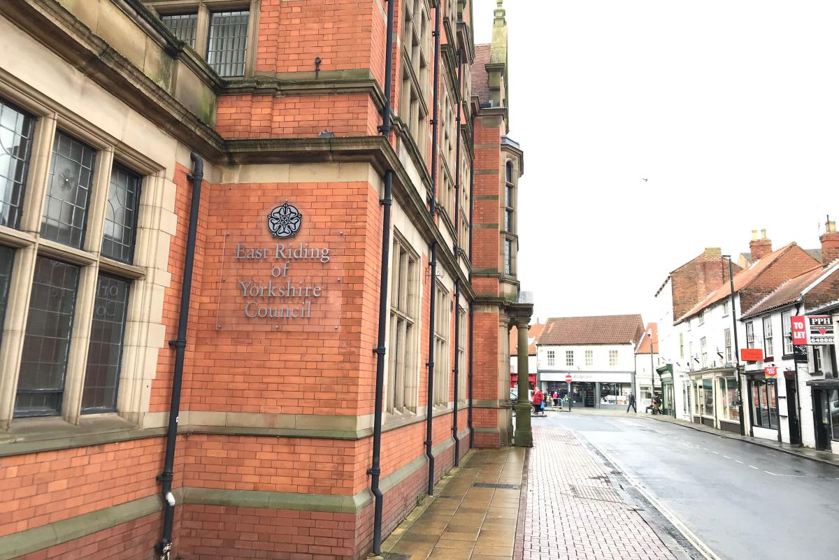 East Riding Climate Strategy: We Need To Do More
 Scarborough Athletic Stay In Play Offs After Hereford Win
 Whitby Town Fight Back For Draw in Bamber Bridge Battle
 Bridlington Town Six Unbeaten After Latest Victory
 Three in Three For Pickering Town Under Heslop
 Hornsea Hammered in Rotherham Defeat


Comments
Add a comment