

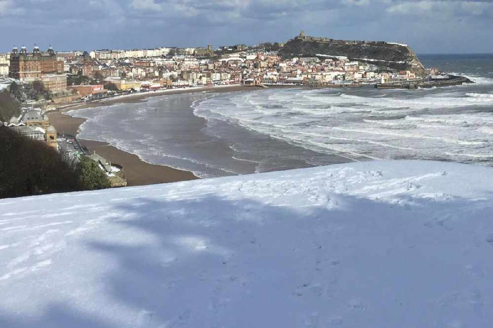
Several centimetres of snow could settle on the North York Moors, with all of us seeing showers turn increasingly to snow.
The Met Office have issued a Yellow Weather Warning for ICE for the whole Yorkshire Coast, valid from 6:00pm today until 12:00pm tomorrow:
Frequent wintry showers running down the east coast are likely to fall on frozen surfaces in places, leading to the formation of icy patches. These showers are likely to fall as snow on high ground, with the potential for a few centimetres to accumulate on the North York Moors.
Jo Farrow, a Forecaster from NetWeather, told Paddy at Breakfast that we can all expect some snow in the next few days, especially tonight and Thursday night:
Jo also says we can expect sub zero temperatures at night and temperatures barely above freezing by day:
But how long will the cold snap last? Jo thinks it's here to stay for the rest of the week and into next week too:
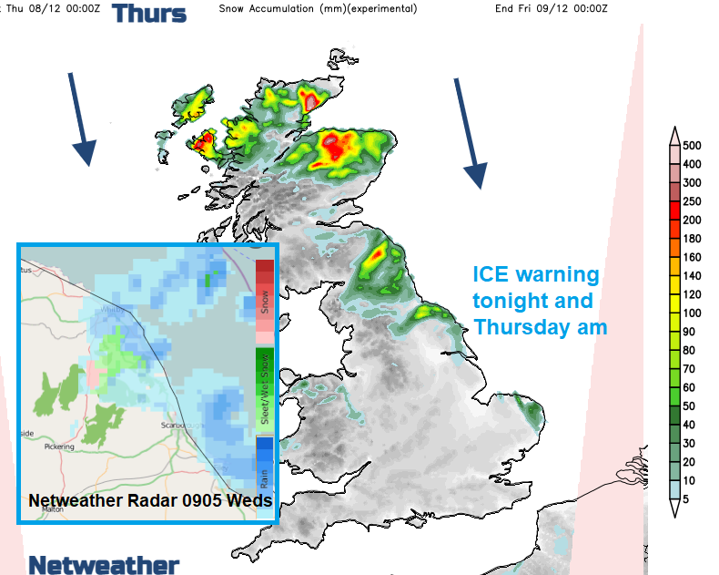
Jo also shared this latest radar image and snow levels forecast:
The Yorkshire Coast could see scenes like this at times this week:


 Scarborough and Whitby MP "Frustrated" with Own Government Over Fracking Loophole
 Mayor Says North Yorkshire Bus Services are "Broken" As Franchising Assessment Approved
 Quick FA Cup Replay Welcomed After Heartbreaking Late Draw For Scarborough Athletic
 Whitby Town Return To Action Under Caretaker Boss Denny Ingram
 £1.5 Million Water Pipe Upgrade Begins In Snainton And Ebberston
 Record £456 Million Transport Investment to Overhaul North Yorkshire Journeys
 Bin Lorries to Carry Domestic Abuse Support Messages Across the East Riding
 Two Die After Car Crash Between Whitby and Guisborough
 Fire Crew Availability Rises As Recruitment Outpaces Leavers In North Yorkshire
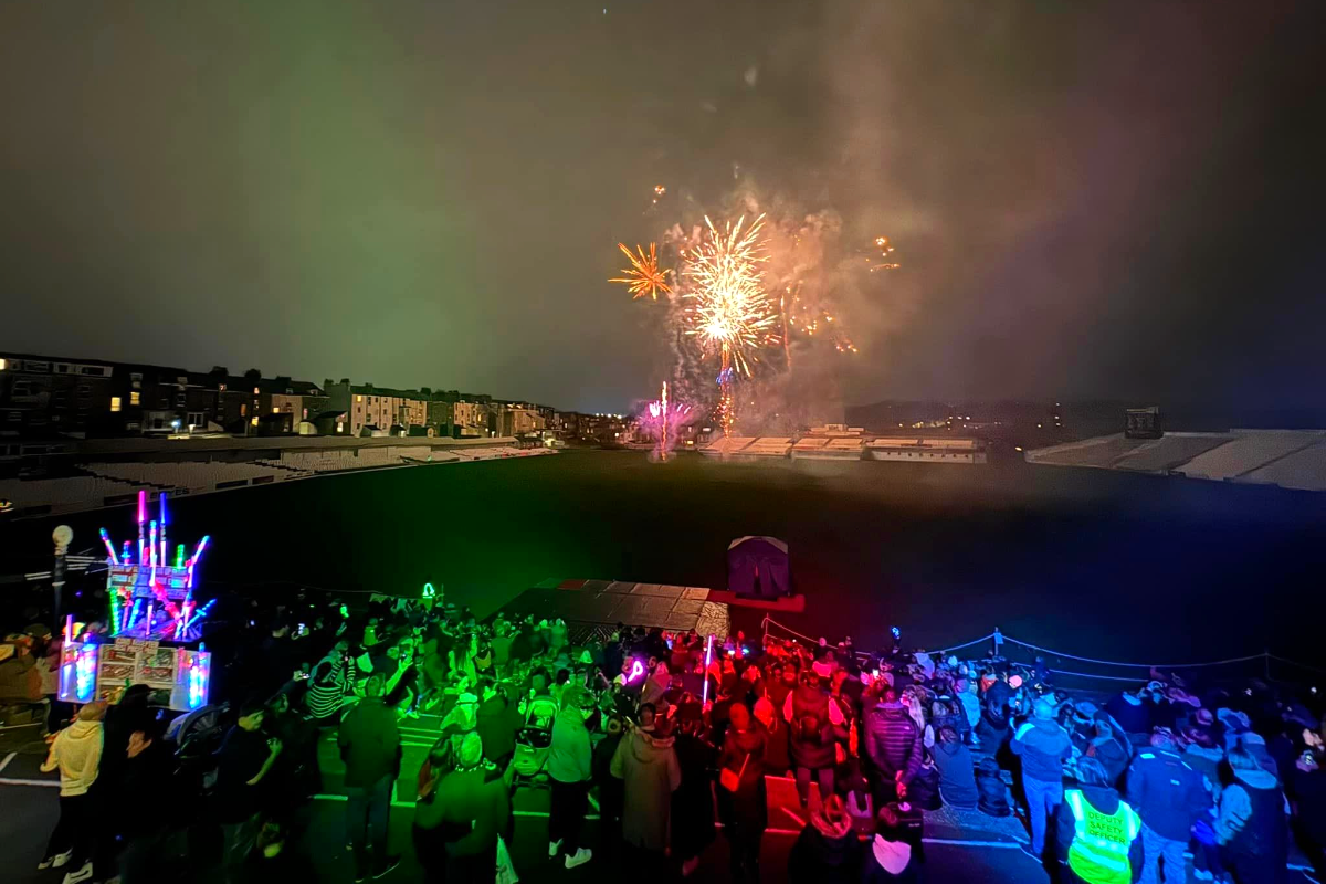 Scarborough Sky Will Light Up For Annual Fireworks Extravaganza
 Steep Sutton Bank Route Reopens Following Three-Week Maintenance Closure
 Surprise As Leader Of Labour Group On East Riding Council Defects To The Conservatives









Comments
Add a comment