


The Met Office Weather Warning is in force from midnight tomorrow night, until midday on Wednesday.
Snow is likely to settle on high ground, but amounts will be small.
At lower levels it's more likely to be sleet or wet snow.
Afterwards, surfaces are expected to become icey.
Here's the Met Office Weather Warning:
A band of sleet and snow is likely to continue to push across this area and towards the southeast during the first part of Wednesday. This could bring 1-2 cm of snow over the hills in the region, with a small chance of around 5 cm falling in one or two upland areas.
At lower elevations sleet or very wet snow is likely, but no settling of snow is expected.
As this band of sleet and snow clears to the southeast, temperatures will fall below freezing leading to widespread ice developing.
Snow showers arrived on the Yorkshire Coast overnight with this the scene on Scarborough's South Cliff this morning:

 11th-Hour Reprieve As Bridlington Care Unit Closure Is Postponed
 Significant Funding Agreed For Whitby Maritime Hub
 Plans Unveiled to Manage Urban Gulls Along the Yorkshire Coast
 Free Holiday Meals And Activities Programme Extended For Three Years In North Yorkshire
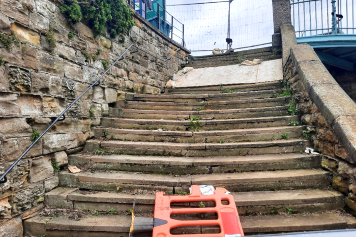 Updated Plan for Repair of Scarborough Museum Grade II Listed Steps
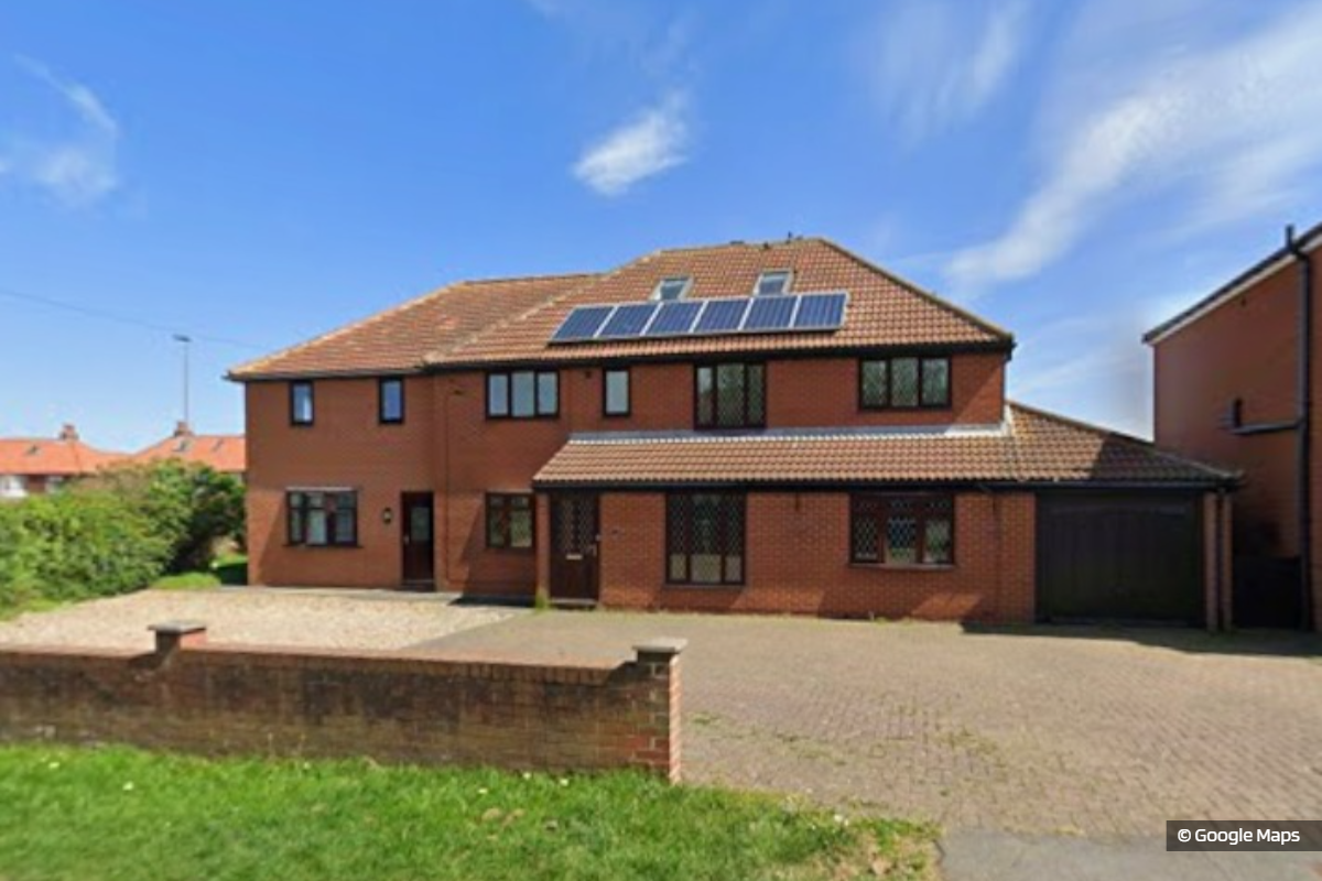 Conversion Of Large Whitby Holiday Let Into Residential House Approved
 Over 400 Solar Panels Installed at Whitby Leisure Centre to Cut Energy Bills
 The Scarborough Streets Festival Concludes With A Community Parade
 Debate Sparks Over Payment For Performers At Scarborough's Peasholm Park
 Whitby Rugby Club Celebrate 75 Years With Yorkshire Return
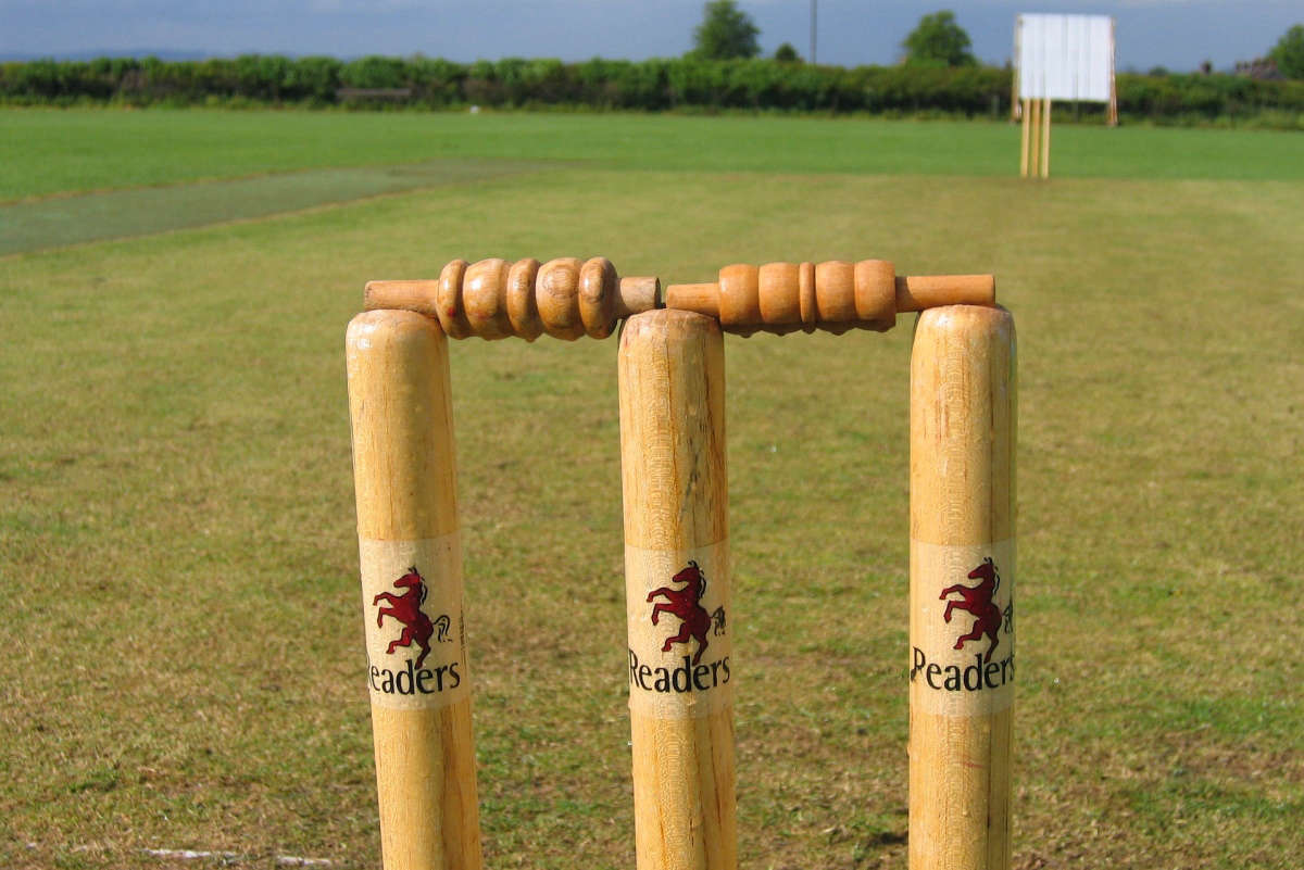 Yorkshire Coast Cricket Round-up
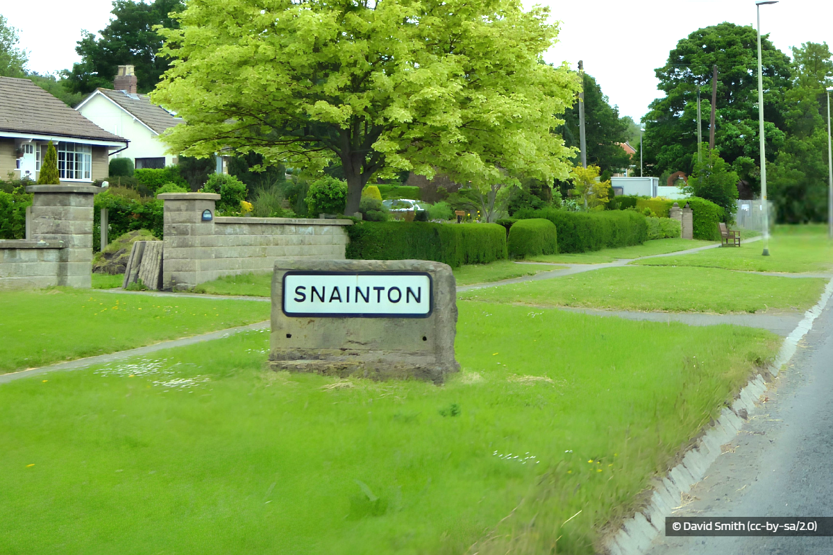 Plan for Snainton Houses Blocked to Avoid ‘Undesirable Precedent’


Comments
Add a comment