


The Met Office Weather Warning is in force from midnight tomorrow night, until midday on Wednesday.
Snow is likely to settle on high ground, but amounts will be small.
At lower levels it's more likely to be sleet or wet snow.
Afterwards, surfaces are expected to become icey.
Here's the Met Office Weather Warning:
A band of sleet and snow is likely to continue to push across this area and towards the southeast during the first part of Wednesday. This could bring 1-2 cm of snow over the hills in the region, with a small chance of around 5 cm falling in one or two upland areas.
At lower elevations sleet or very wet snow is likely, but no settling of snow is expected.
As this band of sleet and snow clears to the southeast, temperatures will fall below freezing leading to widespread ice developing.
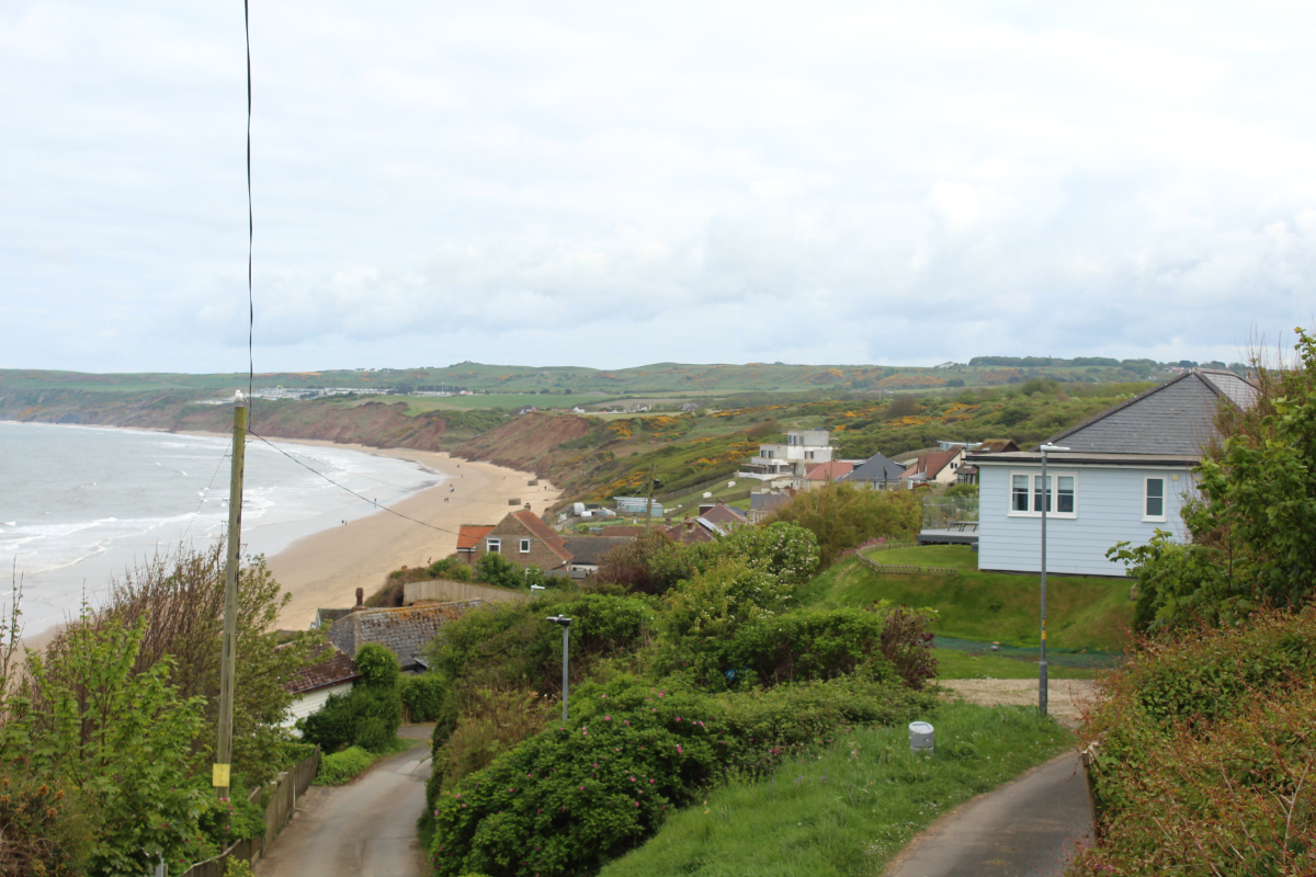
Snow showers arrived on the Yorkshire Coast overnight with this the scene on Scarborough's South Cliff this morning:

 Permanent Overnight Campervan Parking On North Yorkshire Coast Welcomed by Councillors
 Filey Tourism Association Hopes For A Busy Summer Amid Zoo Rebranding And Investment Consultation
 Major £7m Coastal Monitoring Scheme Set to Be Led by North Yorkshire Council
 Scarborough School Celebrates National Praise For Pupil Success
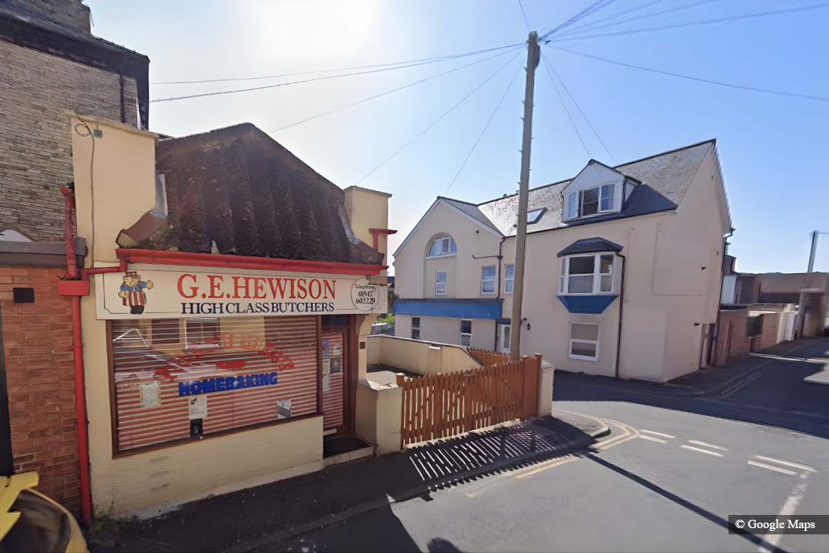 Support Grows For Whitby Butcher’s Shop Conversion Into Commercial Laundrette
 £21 Million Funding Secured To Transform Brownfield Sites In East Yorkshire
 Whitby Town Academy Graduate Jack Kilpatrick Signs First Team Forms
 Council Dismisses Fears Over Scarborough Town Centre Footfall Following Office Relocation
 Call For Urgent Improvements By Man Who Lost Job Due To Poor Water Quality In Scarborough
 Family Pay Tribute To Man Who Died Following Incident At Whitby Pub
 Could Global Tensions Boost Domestic Tourism As Holidaymakers Change Travel Plans?
 Why Moth Infestations Will Cost More Than Rat Problems in North Yorkshire


Comments
Add a comment