


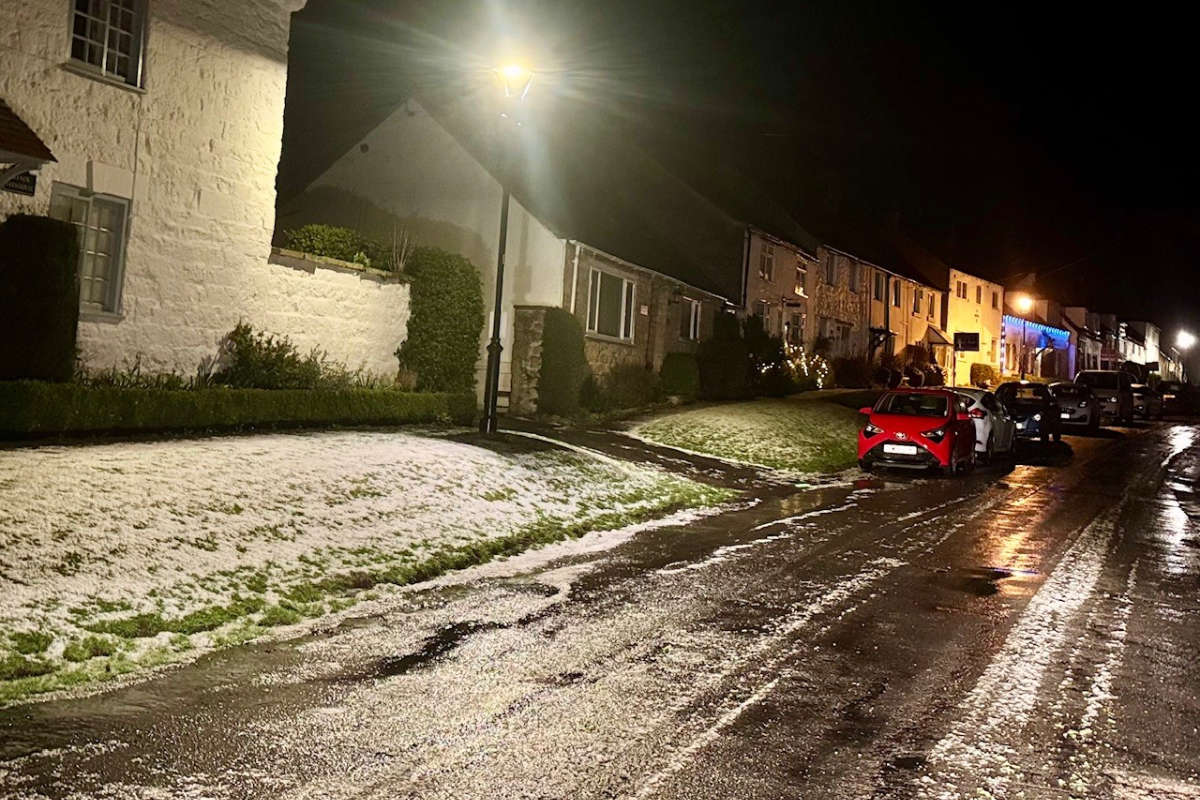
2-5cm could fall at low levels with up to 30cm possible on high ground.
The Met Office weather warning is in place from Wednesday morning at 5:00am until 9:00pm on Thursday. The warning area covers most of the area including Whitby, Scarborough and Filey.
They say there is a chance of a period of heavy snow across this region and that should it occur it is likely to cause significant travel disruption.
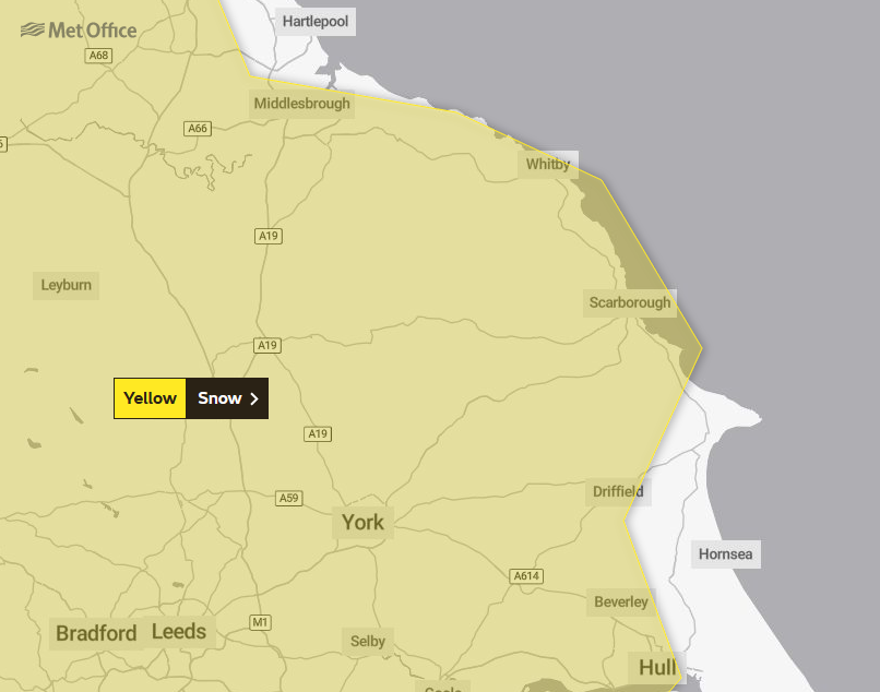
"An area of rain pushing north-eastwards is expected to increasingly fall as snow, at least for a time, as it encounters colder air across Scotland and parts of northern England. Heavier snowfall is more likely above 150 m, where 5-15 cm of snow may accumulate, and possibly as much as 30 cm of snow in a few locations. At lower levels 2 - 5 cm may accumulate but there remains a possibility that milder air makes more inroads, with the snow turning back to rain more widely, in this case snowfall would largely be restricted to the highest ground. A brief period of freezing rain, which would bring areas of ice, is possible in the western, especially south-western, part of the warning area on Wednesday morning
Listen to This Is The Coast for regular weather and travel updates.

 Senior Councillors Back Yorkshire Wolds Area Of Outstanding Natural Beauty Bid
 Scarborough Footballers Unite to Kick Off Fundraising for Motor Neurone Disease
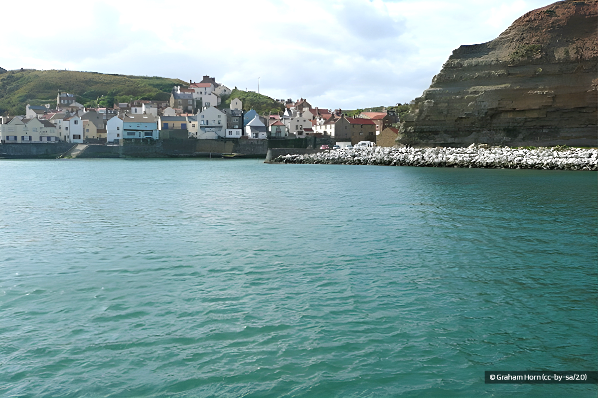 Yorkshire Water Announces £1.8m Upgrade For Staithes Wastewater Network
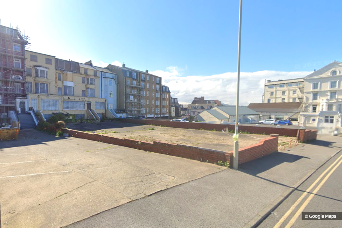 Refusal For Collapsed Car Park Company's Scarborough Plan
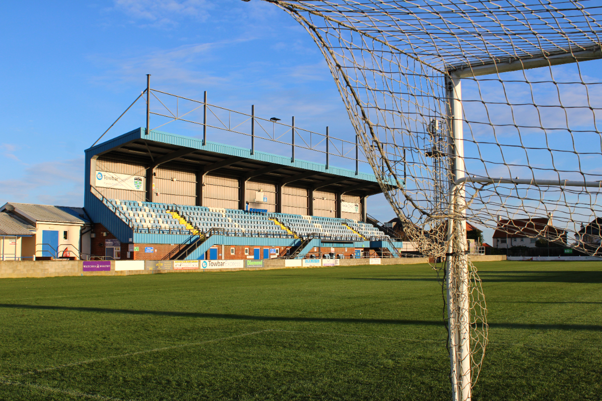 Whitby Town Bolsters Squad With Triple Sunderland Loan Signing
 'Last Ditch' Attempt To Stop Council's Scarborough Office Purchase Fails
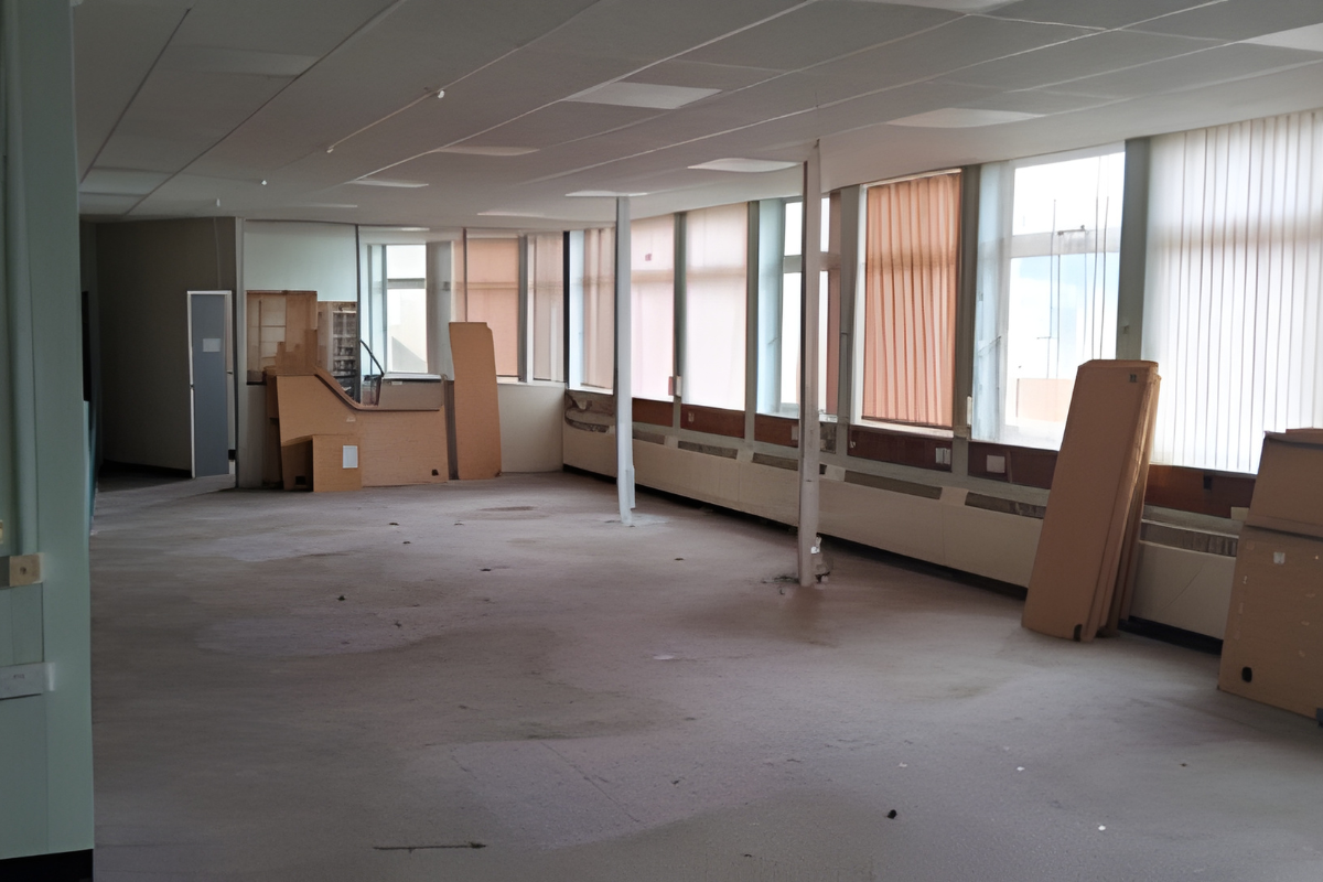 Scarborough Council Offices Branded 'Appalling' And 'Smelly' As Relocation Plan Advances
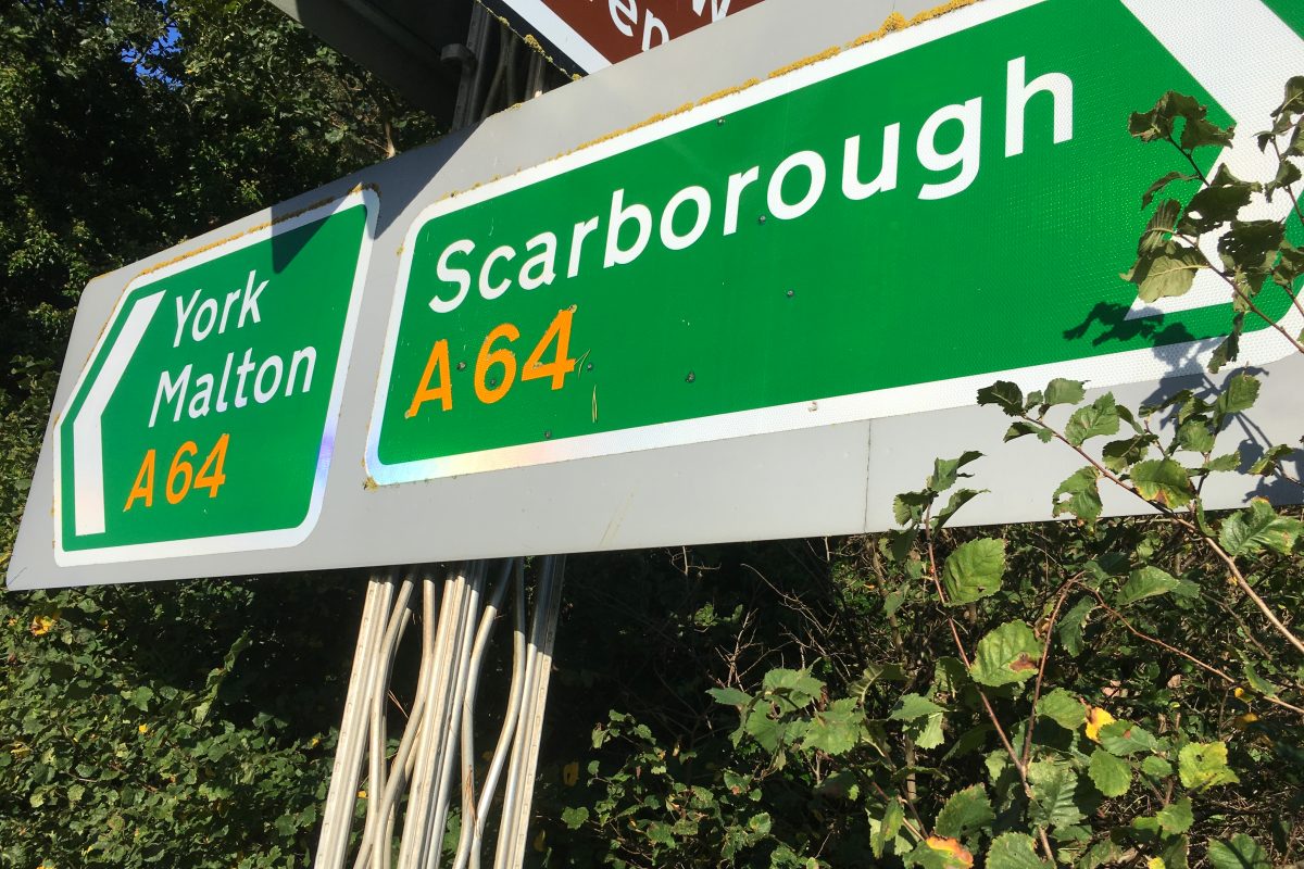 A64 Dualling Omitted As Government Announces £2 Billion Road Investment Strategy
 Michael Coulson Departs Bridlington Town With Immediate Effect
 Lightning Strike Causes Power Surge Damage To Homes In Gristhorpe
 Council Pledges To Protect And Maintain Scarborough's Historic Town Hall
 Continuing Safety Concerns Raised Over Disability Access To Whitby Beach


Comments
Add a comment