

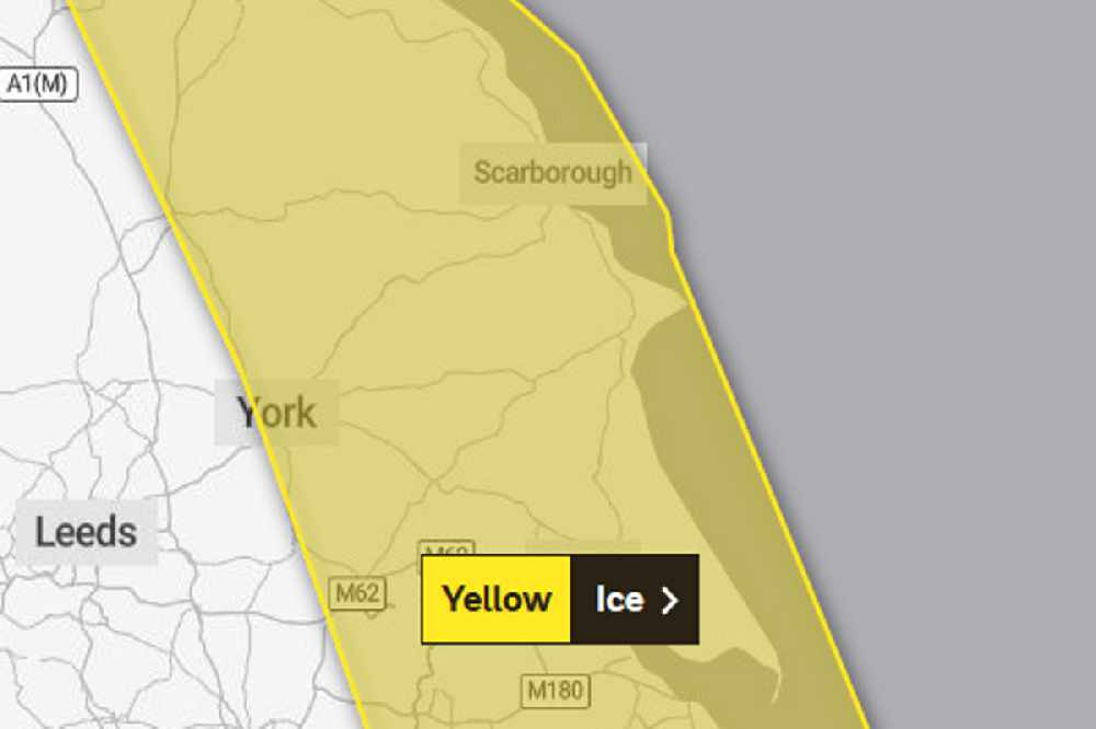
The first Met Office warning is in force from 4:00pm today until 10:00am tomorrow.
They say further showers this evening and overnight could lead to ice on untreated surfaces as temperatures plummit to well below freezing.
Some of the showers may be wintry inland but the chance anything other than isolated and very small accumulations of snow is very low.
A second Met Office weather warning for ice covers the whole Yorkshire Cooast from 5:00pm Thursday until 11:00am Friday.
In it, they say showers, with a mixture of rain, sleet and snow, are expected to fall onto frozen surfaces leading to icy stretches forming.
In addition, a more persistent spell of rain and hill snow is likely to spread south across northern England and north Wales during Thursday evening and night. Whilst ice is expected to be the main hazard, snow is likely in place too.
Snow is most likely to fall over The Pennines, North York Moors and the high ground of Wales, with 1-3 cm possible here.
Elsewhere, whilst some snowfall is possible, accumulations are likely to be slight and temporary.

 Thousands Of Jobs And Billions In Investment Targeted In Pro-Growth Drive For The East Riding
 Proposed Overnight Visitor Levy Faces Scrutiny From Coastal Tourism Bosses
 Flamborough RNLI Volunteers Celebrate Crucial Training Milestone
 MP Supports Targeted Help With Rising Energy Bills in North Yorkshire
 Thousands Of Passengers Flock To Highly Successful Railway Steam Gala
 Local Affordable Housing Options Will Expand With New Properties In Driffield And Withernsea
 Late Heartbreak For Bridlington Town In Defeat At Ossett United
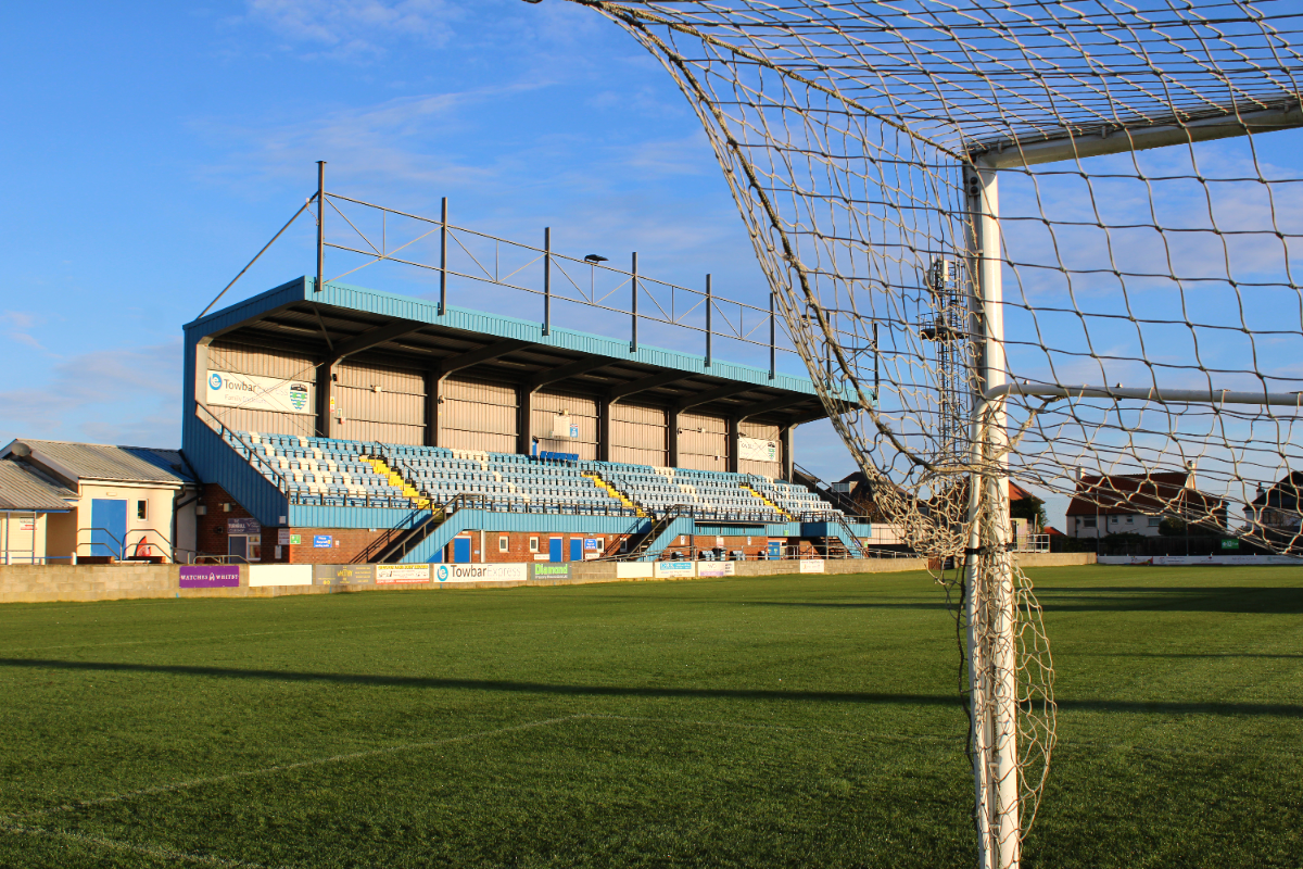 Whitby Town Suffer Narrow Defeat To Lancaster City Despite Taking Early Lead
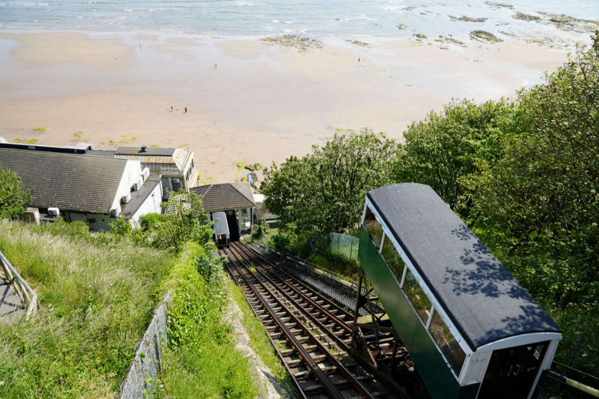 Urgent Calls For Answers Over Closed Scarborough Spa Cliff Lift
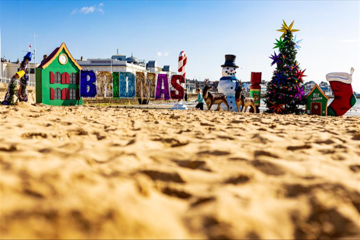 Bridmas Will Return Next Year Following Record Summer Success
 Yorkshire Actor Gaynor Faye to Receive Honorary Degree From CU Scarborough
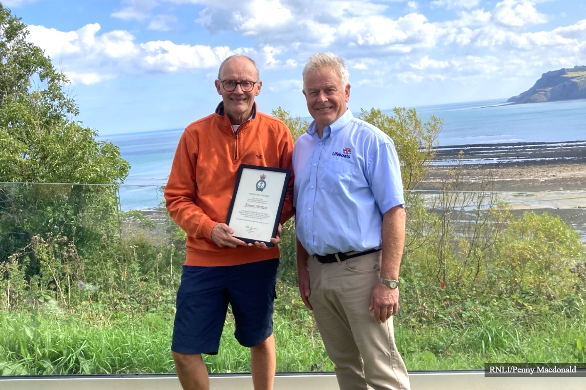 Opera-Singing Busker Receives Special Award After Raising Thousands for Lifeboat Charity










Comments
Add a comment